Skip to content
Draft — placeholder content still to be replaced.
Sam Clark Mountain
Menu

Photographs and plans

Ground-level photographs taken across the property, and the boundary survey.
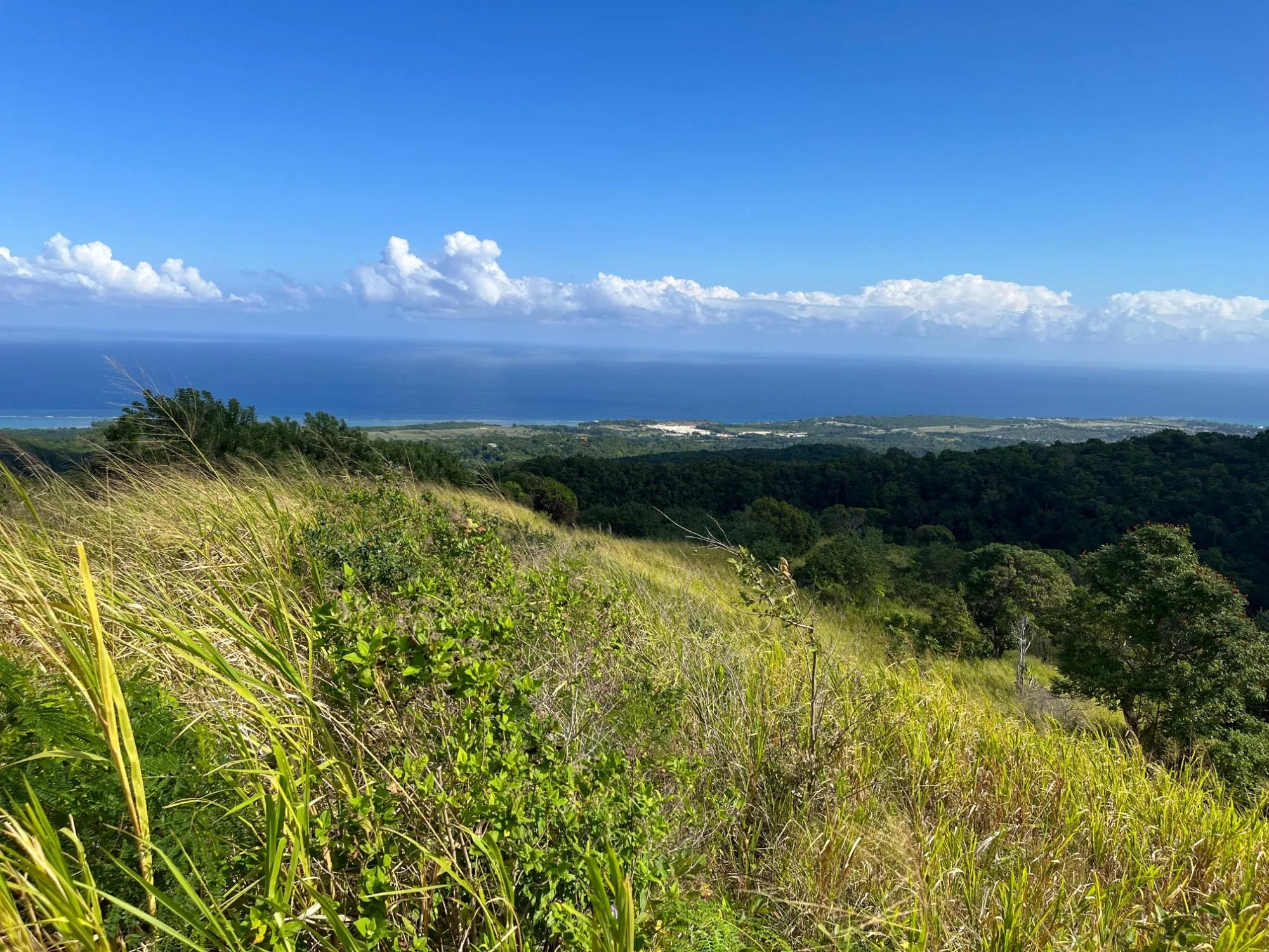
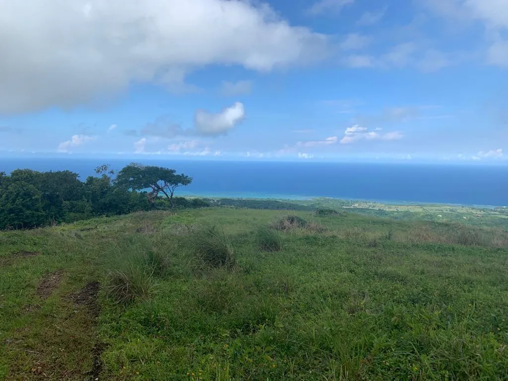
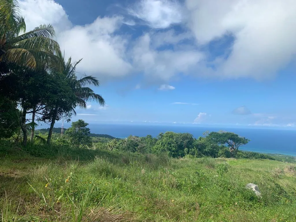
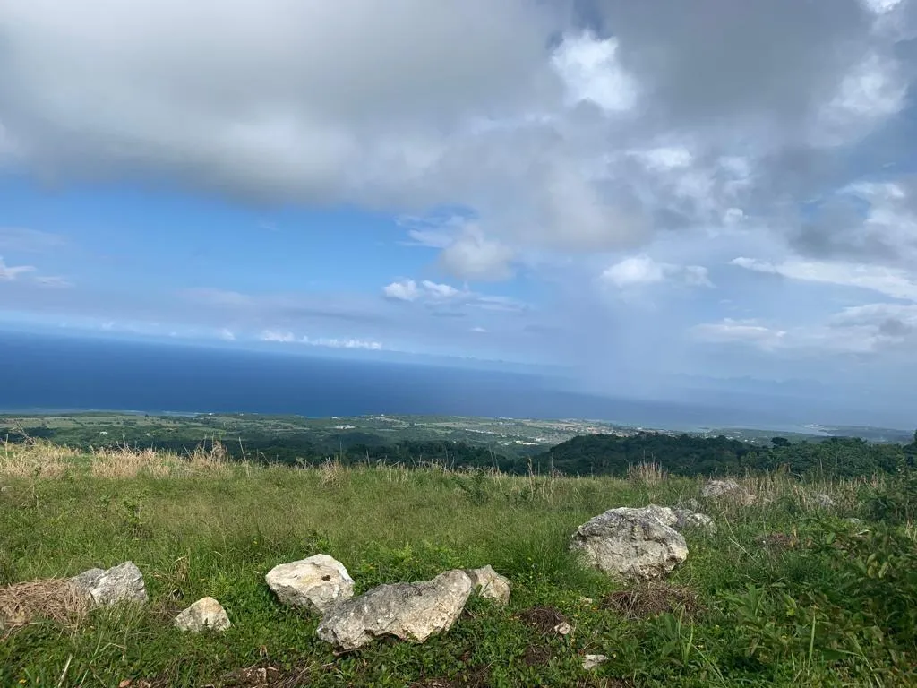
View north from the ridge to the Caribbean Sea
01View north from the ridge to the Caribbean Sea
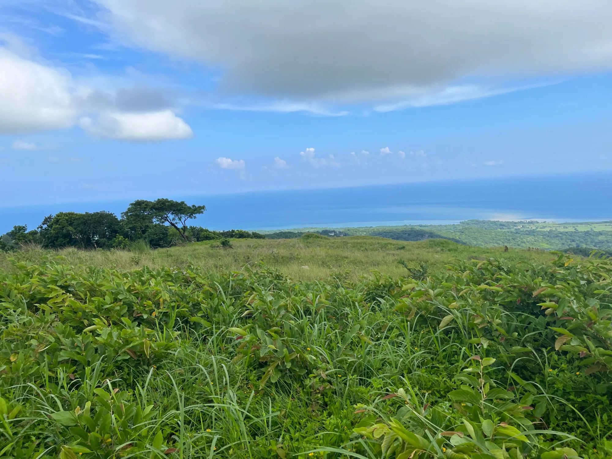
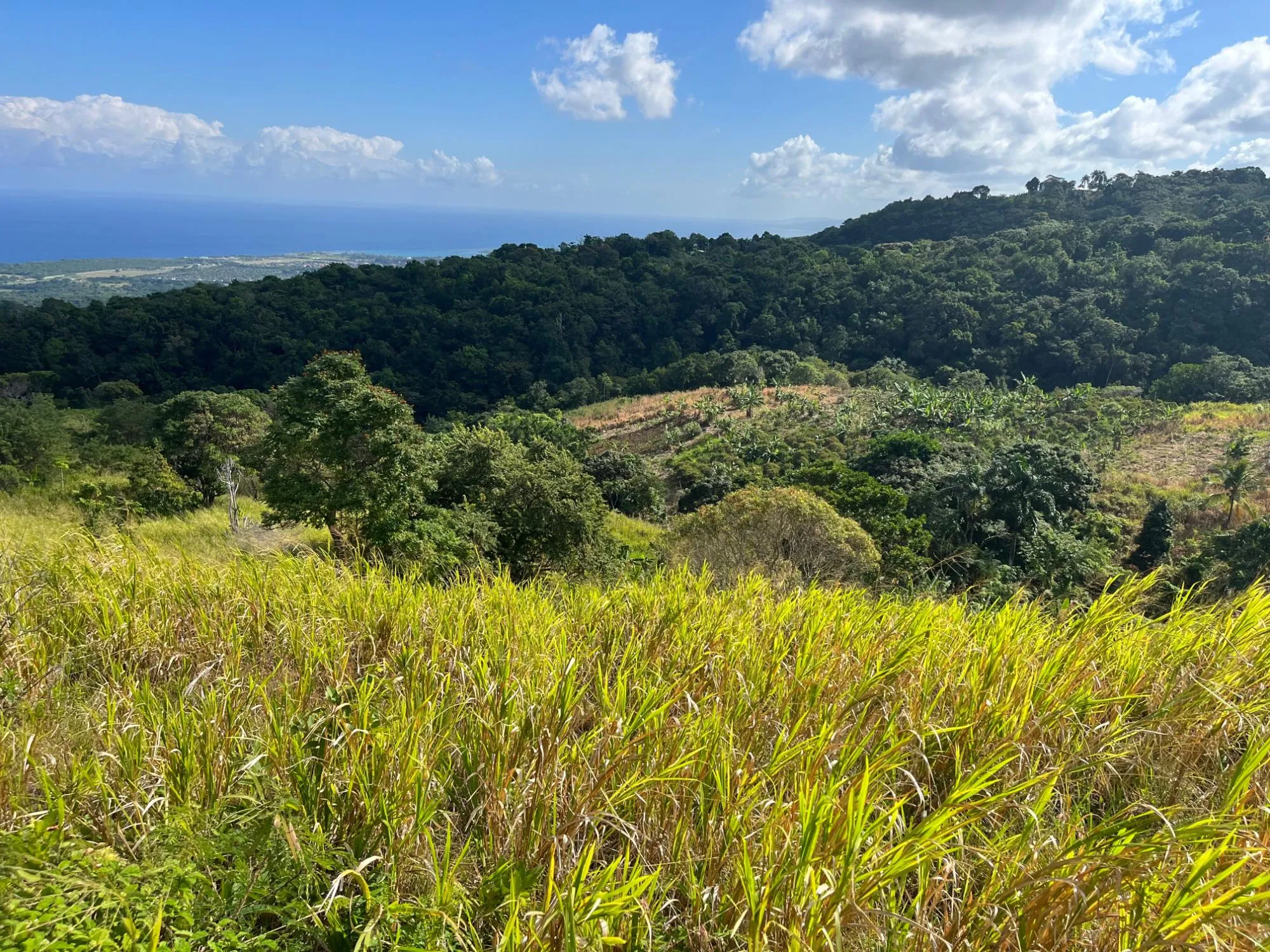
Open pasture on the upper slopes
02Open pasture on the upper slopes
Looking out over the coastal plain
03Looking out over the coastal plain
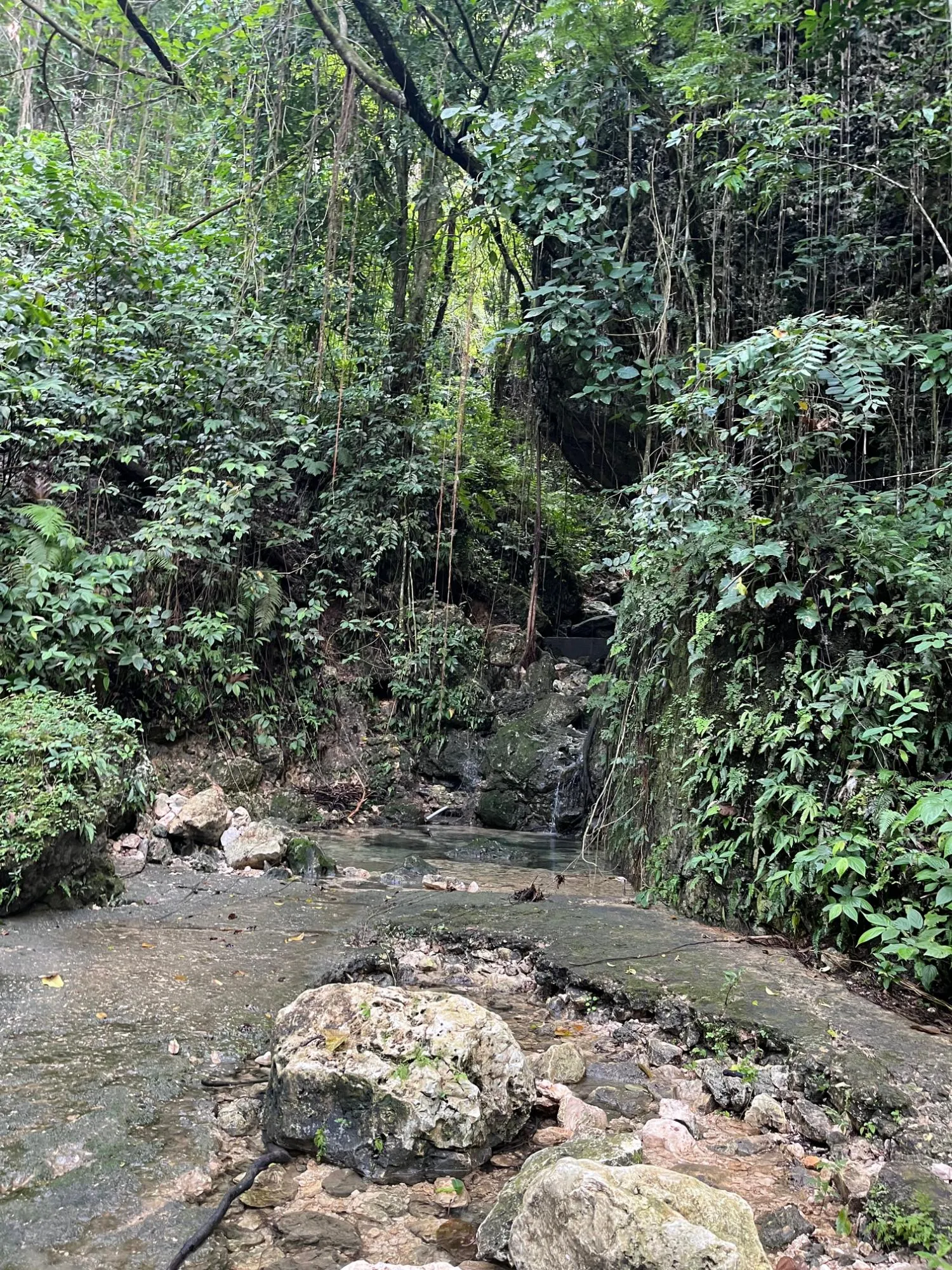
Rocky watercourse in a shaded gully
04Rocky watercourse in a shaded gully
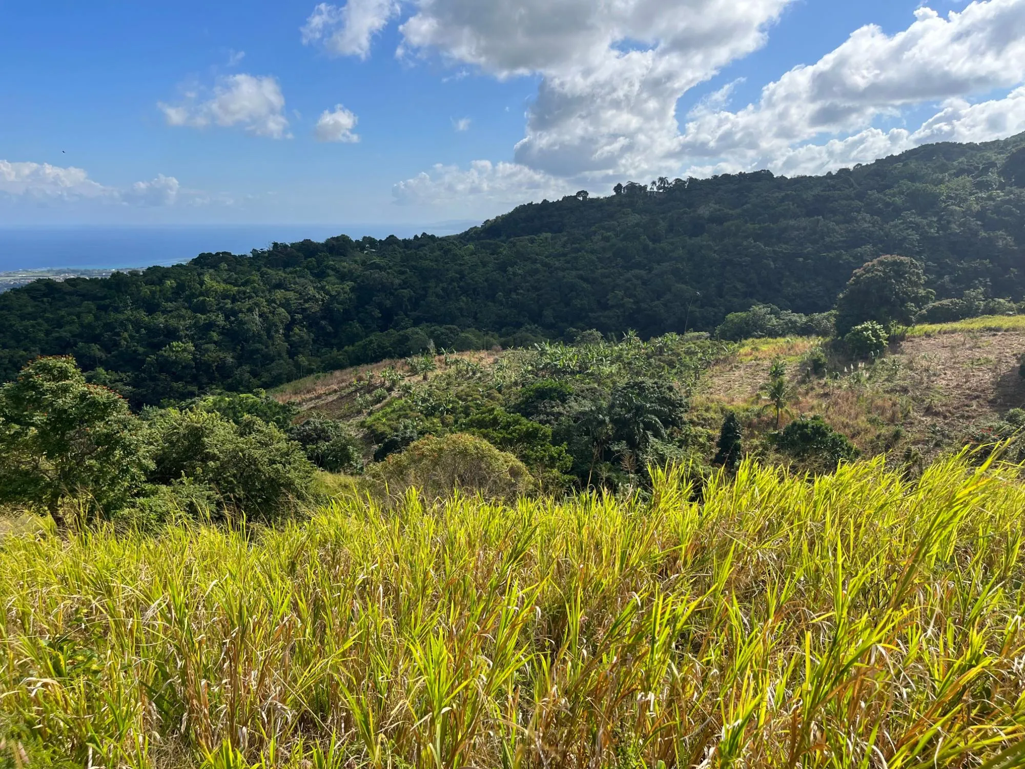
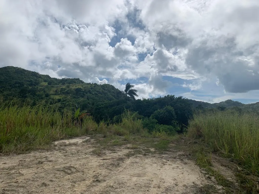
Wooded hillsides and cleared ground
05Wooded hillsides and cleared ground
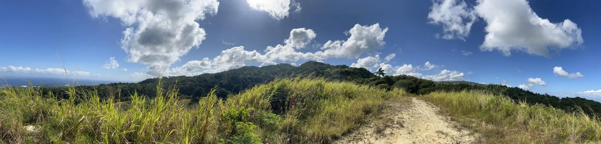
Panorama along the ridge-top track
06Panorama along the ridge-top track
Coconut palms above the coast
07Coconut palms above the coast
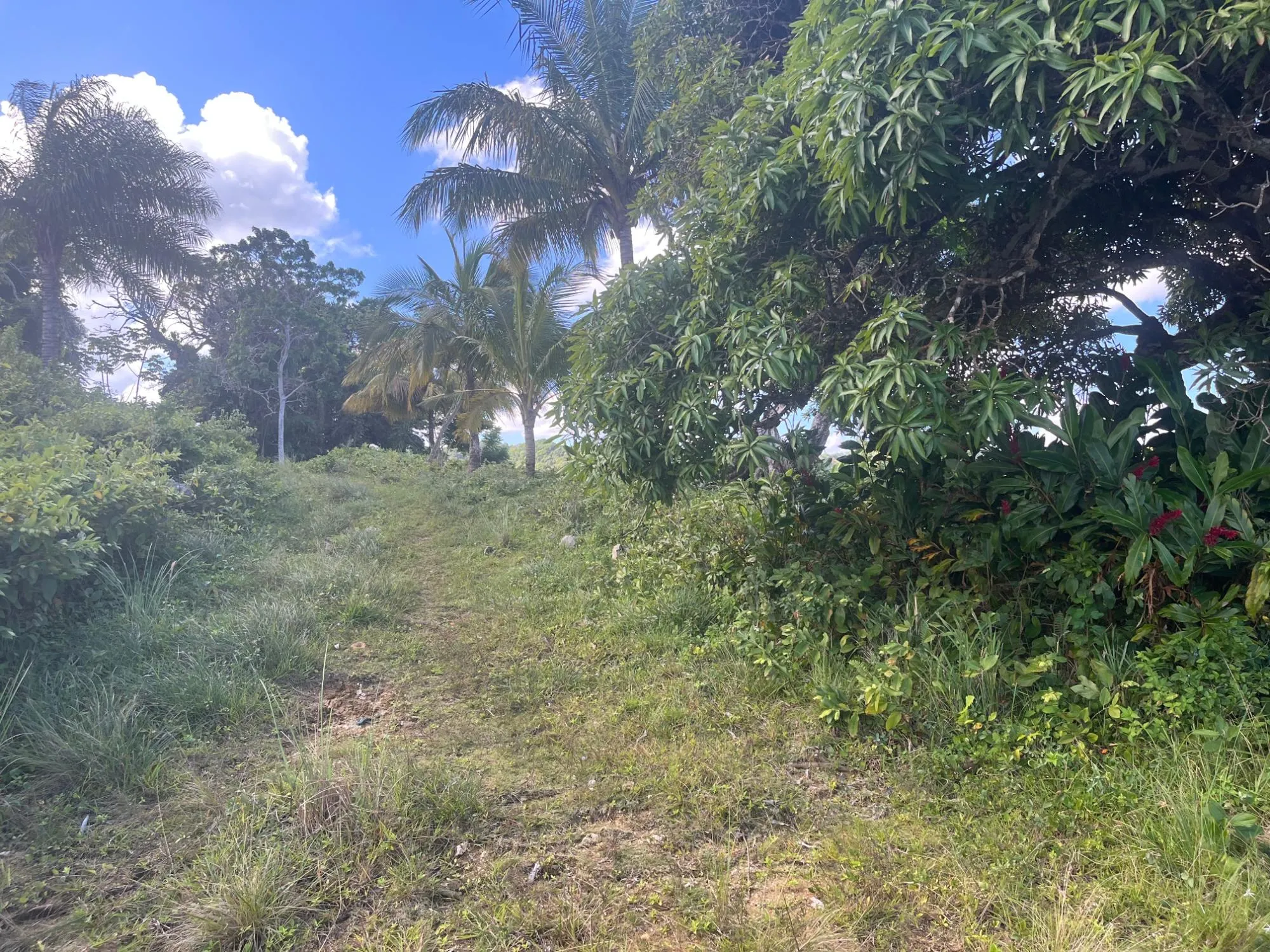
Grassy track beneath fruit trees
08Grassy track beneath fruit trees
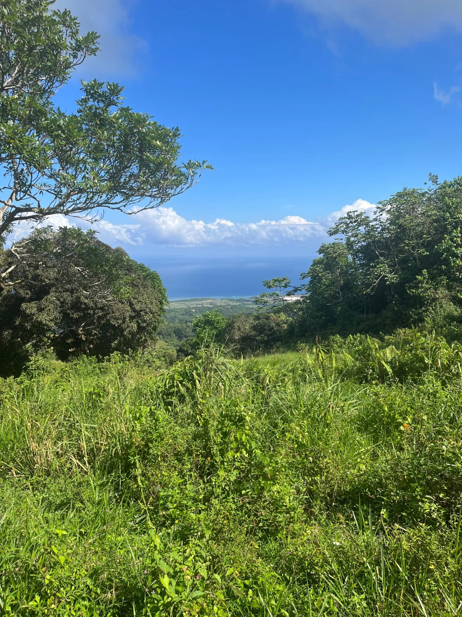
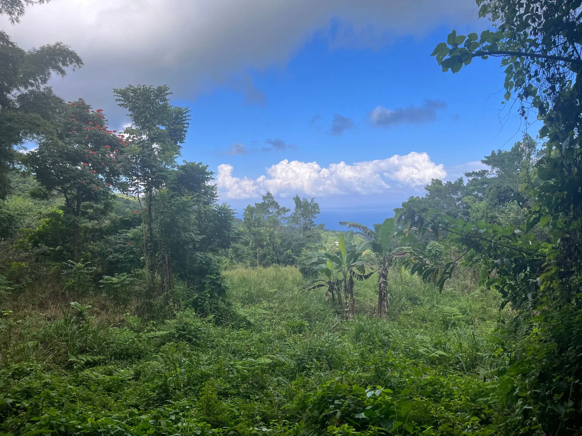
Sea view through the trees
09Sea view through the trees
Rock outcrops in the pasture
10Rock outcrops in the pasture
Mixed woodland on the slopes
11Mixed woodland on the slopes
Bananas in a sheltered clearing
12Bananas in a sheltered clearing
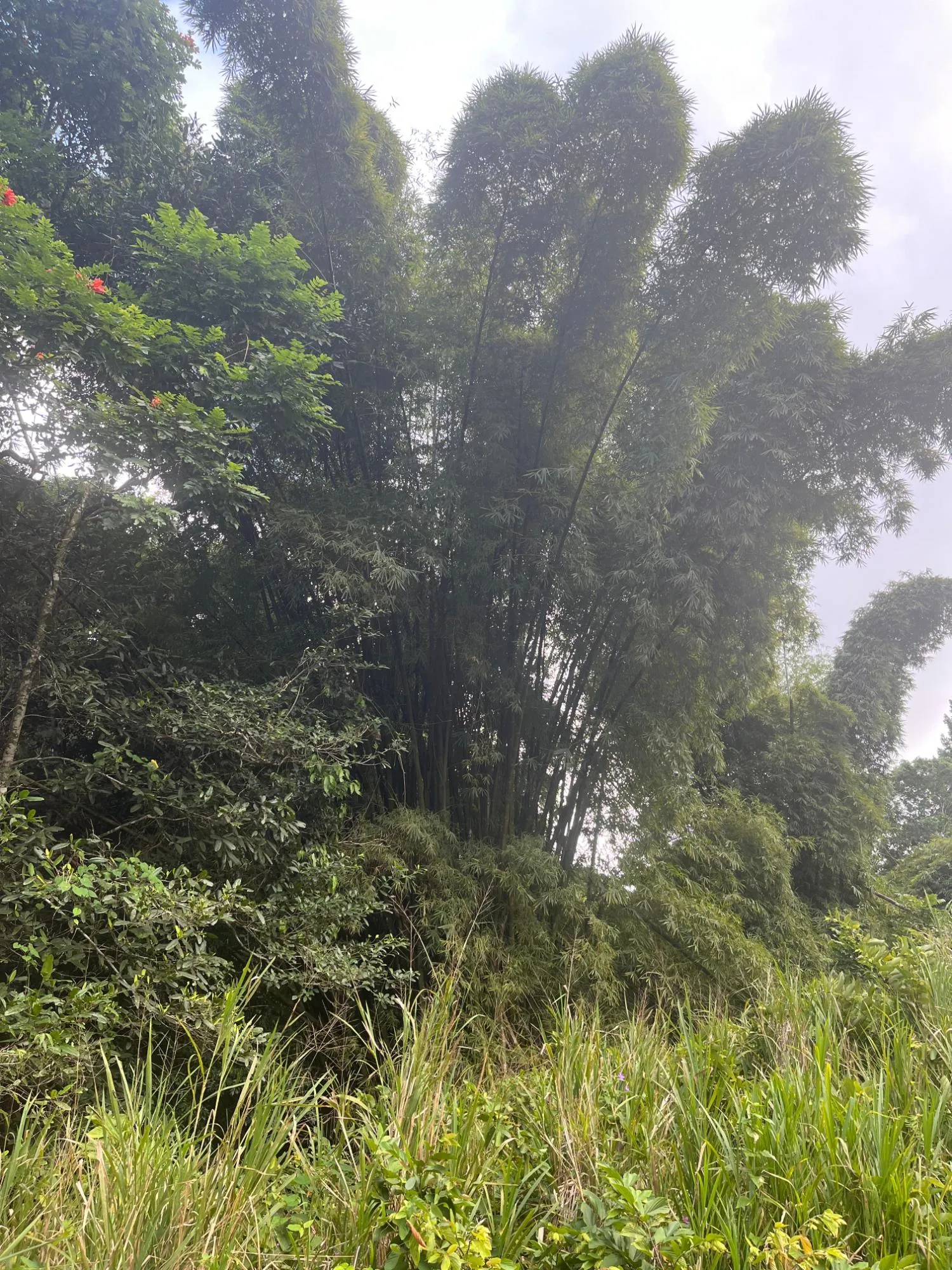
Stand of bamboo
13Stand of bamboo
Farm track through the property
14Farm track through the property
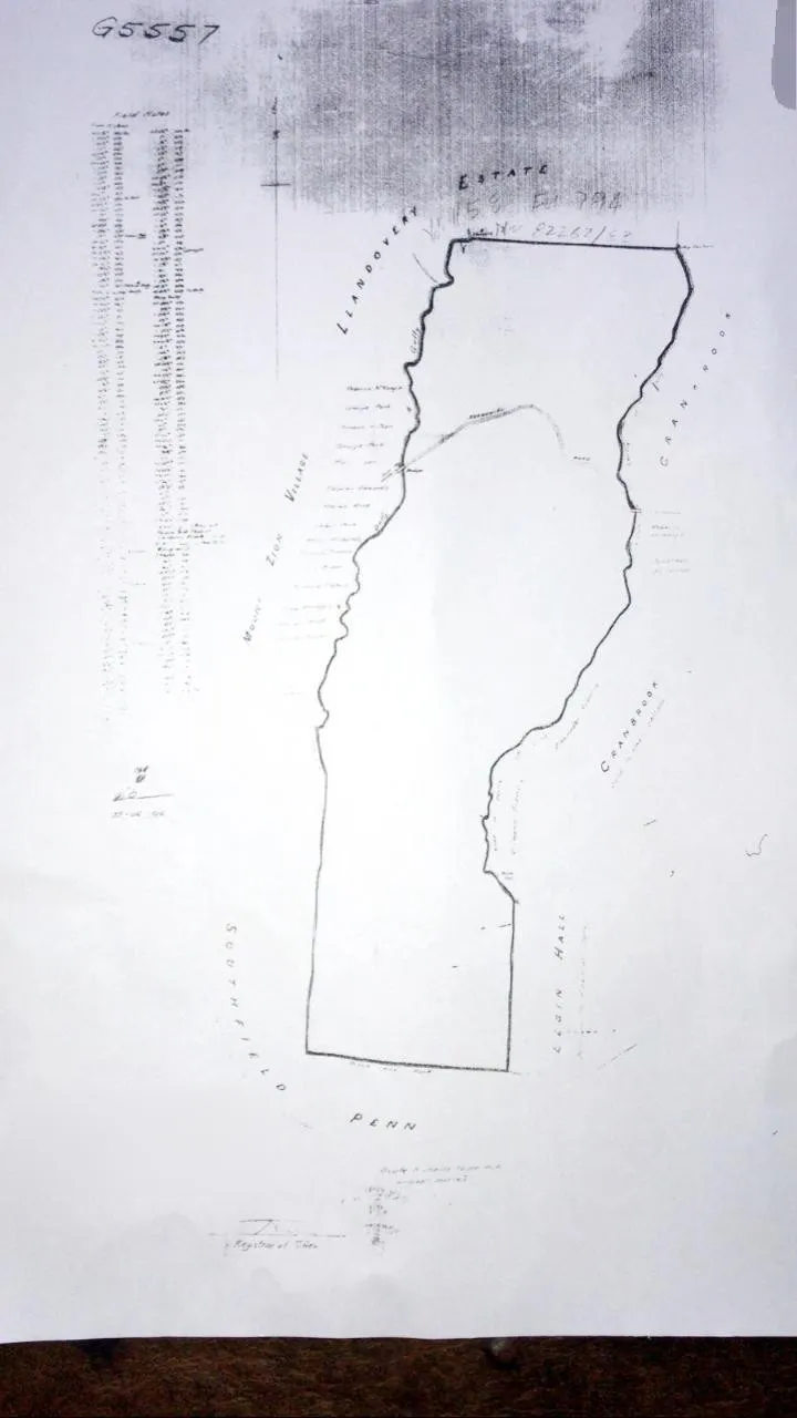
Survey plan showing the boundary
15Survey plan showing the boundary

Walk the land, or ask for the survey and title.

Visits are by appointment, in person or by video call. We can send the survey plan, title details and the approved subdivision drawings on request.

For sale · US$11,800,000

Make an inquiry